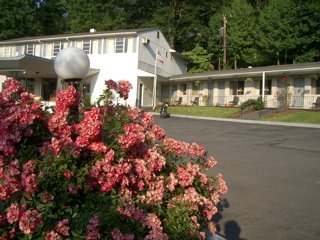
I exited the Park at the end of the Drive and headed down into the
Waynesville Valley for the night.
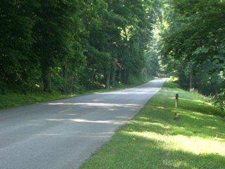
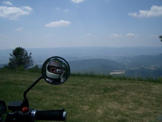
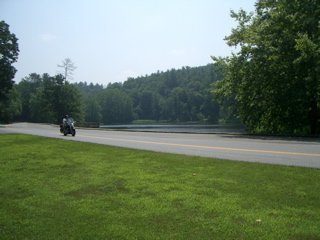
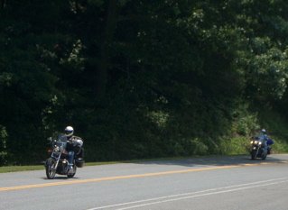
I drove about 60 miles along the Blue Ridge Parkway (same road
extended!)
and exited at a point where I could head out across the West
Virginia
mountains on those roads with the green dots along them.
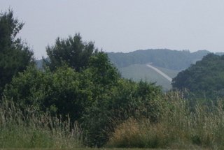
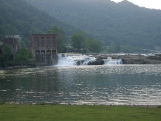
While stationed in NC in the Marines, I used to fly photo
reconnaissance missions along the Appalachian mountains in the fall
to
get color photography of the fall colors down in the NE-SW running
"ridge folds" of those mountains that are quite pronounced
from the
air. Now, I wanted to drive NW perpendicularly across those same
folds
going up and down that washboard terrain. They didn't 'green dot' it
for nothing!
>>>>>>>>>>>>>